2.1.5 Tables
The Tables menu is the data core. Here you have to upload your tables in .Json or GeoJSON file format.
The tables show the attributes of data to be filtered, providing pre-set additional information field by field.
The setting of table visualization allows a high level of customization on colours, dimensions, styles, map styles and on a series of utilities by means of which the tool is expected to offer a wide range of possibilities for users to improve their analytical skills and enhancing the discussion.
WARNING! for a correct use of InViTo, Json files have to be projected as follows:
- Projected Coordinate System: WGS_1984_Web_Mercator_Auxiliary_Sphere
- Projection: Mercator_Auxiliary_Sphere
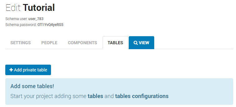
To add a private table, click on the blue button “+Add private table“